Out and About – Richborough Roman Fort
By Theresa & Richard Emmett and Don & Jacky Harris

Where is it?
The Richborough Roman Fort is on the on the east coast of Kent, just north of Sandwich.
Address – Richborough Road, Sandwich CT13 9JW
Map Reference TR 32423 60089, . You will need to purchase tickets via the English Heritage website.
What is physically there?
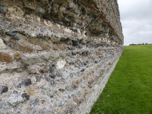
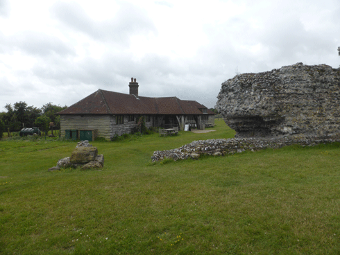
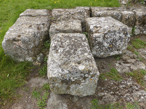
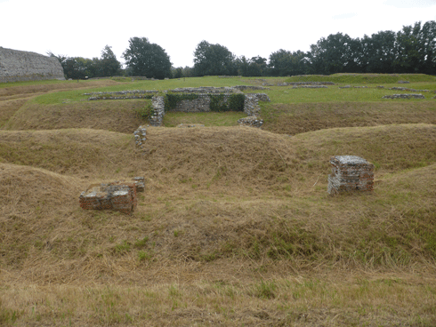
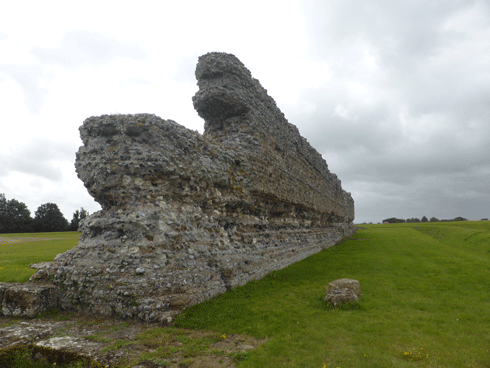
It is an amazing Roman site…with many of the walls still visible above the ground, and others marked out by English Heritage.
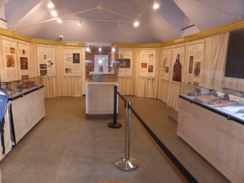
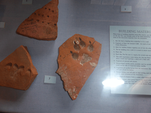
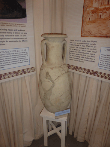
There are various display boards and a visitor centre with displays, artefacts found on site, and a gift shop….plus nearby those all-important toilet facilities that English Heritage provide, these ones being the kind you use with sawdust, an experience if you have yet to try!
There is also a Roman amphitheatre, that is within walking distance that is soon (2021/2022) to be excavated.

It’s History?
A key site in the history of Roman Britain, which was used during the entire length of the Roman occupation from the invasion of 43 CE until the end of Roman rule around 410 CE. Although now inland close to the River Stour, 2,000 years ago it laid on the Kent coast, where the invading Roman forces first came ashore in Britain. It became the main entry point from mainland Europe, developing over time from a military supply base into a thriving port town and later a massive fort.
Richborough fort now lies 2 miles inland in the East Kent marshes, but during the Roman period it overlooked the strategically important Wantsum sea channel, which used to be over two miles wide, which divided the Isle of Thanet from Kent. In 43 CE, at least part of the 40,000 men from the Emperor Claudius’s invasion force landed here, in what would have been a huge logistical military operation.
Initially, they quickly constructed a defensive barrier at the invasion site in the form of two deep, parallel ditches, with a rampart on the seaward side, running for at least 650 metres (700 yards) north–south in line with the Roman coastline. Fortifications such as this would have defended the beachhead, giving protection to the Roman ships, troops, and supplies.
It is quite probable that the invasion force met little opposition in the immediate area of East Kent which allowed the Roman army to move to their campaign further inland. Richborough was then established as a military logistic base. Within the site, there is evidence of large storehouses or granaries, necessary to provide for the troops who were making their way inland. The site became a port and was known throughout the Roman world as Rutupiae.
The established port-town included an amphitheatre and one of the biggest monumental arches in the Roman Empire. The arch, built in about 85 CE, was exceptionally large and elaborate. Standing twenty-five metres tall, it was clad in expensive white marble, which had been imported from Italy. It was likely to have been adorned with sculptures and inscriptions. The arch symbolised Richborough’s status as being the gateway into Britain from the continent, or accessus Britanniae.
It is believed that the town-port heyday was during the second century. An early timber mansio (an official stopping place on a Roman road, maintained by the central government for the use of officials) was rebuilt using stone, and included other buildings including shops, which lined the streets. Some of these are now partly visible within the area of the later 3rd century stone-walled fort.
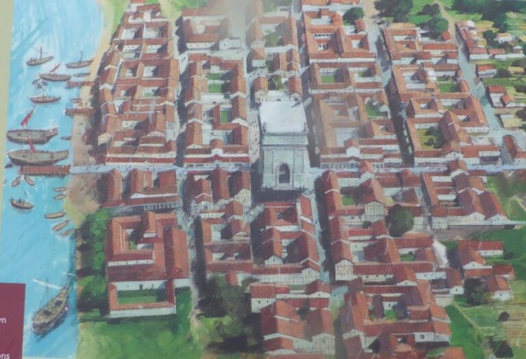

Archaeologists using geophysical and aerial surveys, suggest that the settlement extended far beyond the confines of this later fort, probably covering an area of at least 21 hectares (52 acres).
The town was to thrive for about 200 years, until around 250 CE when a drastic change occurred due to the conflicts within the empire and attacks on the Roman province of Britain from Saxon and Frankish marauders. This resulted in the monumental arch, and buildings being demolished…but it was replaced by two successive forts.
The second of these forts was built in stone about 273 CE and is the most prominent feature visible on the site today. From the late 3rd century, the fort formed part of a chain of forts along the east and south coasts, with Richborough defending the Wantsum Channel.
Why Visit?
A key site in the history of Roman Britain, which was the gateway into Britain from the continent. Also a great place to picnic.
Options
If you drive there is a free car park just by the site.
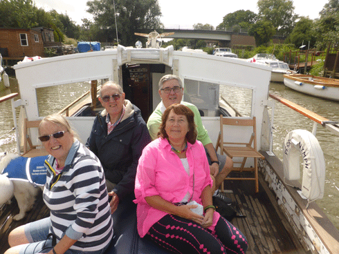
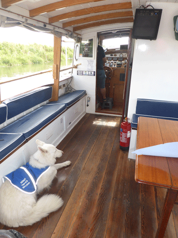
Or you can drive to Plucks Gutter (yes, it really does exist) and parked at the ‘Dog and Duck’ pub to pick up the ‘Ferry Nymph’ boat, operated by Captain Colin (who can be contacted at plucksguttercptcolin@gmail.com), and then travel along the River Stour.
After an hours pleasant journey aboard the boat, you can be dropped off at a jetty which is a 10-minute walk from the fort. The ‘Ferry Nymph’ boat has an interesting history itself, being a ‘Dunkirk Little Ship’. On 29th May 1940, Ferry Nymph, together with her sister ship Southern Queen, were carrying passengers across the entrance of Poole harbour when a telephone message was received from the Admiralty ordering both ships to report to Dover. It was to take part in ‘Operation Dynamo’ – the evacuation of British and Allied troops from the beaches around Dunkirk in France. The Ferry Nymph was taken over by Lieutenant Commander Gerrard of the Royal Navy. It was re-fuelled and then despatched across to Dunkirk. It is known to have made two journeys’ taking 72 soldiers on one trip with further 90 on the second, landing them all at Ramsgate.
Let us know what you think when you visit: Contact us
More Out and About
For more places to visit Click Here.